Riverfly monitoring – a citizen scientist’s view from the River Cray
19 March, 2024
By Brian Knights
Brian Knights is a retired university lecturer and a citizen scientist in the River Cray Riverfly Monitoring Initiative (RMI) Group. Here, Brian discusses the benefits of integrating RMI abundance data and other citizen science data in river monitoring, using the Cray as a case study.
Edited by Rachel Stubbington, Nottingham Trent University
Rachel is both a Fellow of the Freshwater Biological Association and long-standing Editor of FBA articles. If you would like to submit an article for consideration for publication, please contact Rachel at: rachel.stubbington@ntu.ac.uk
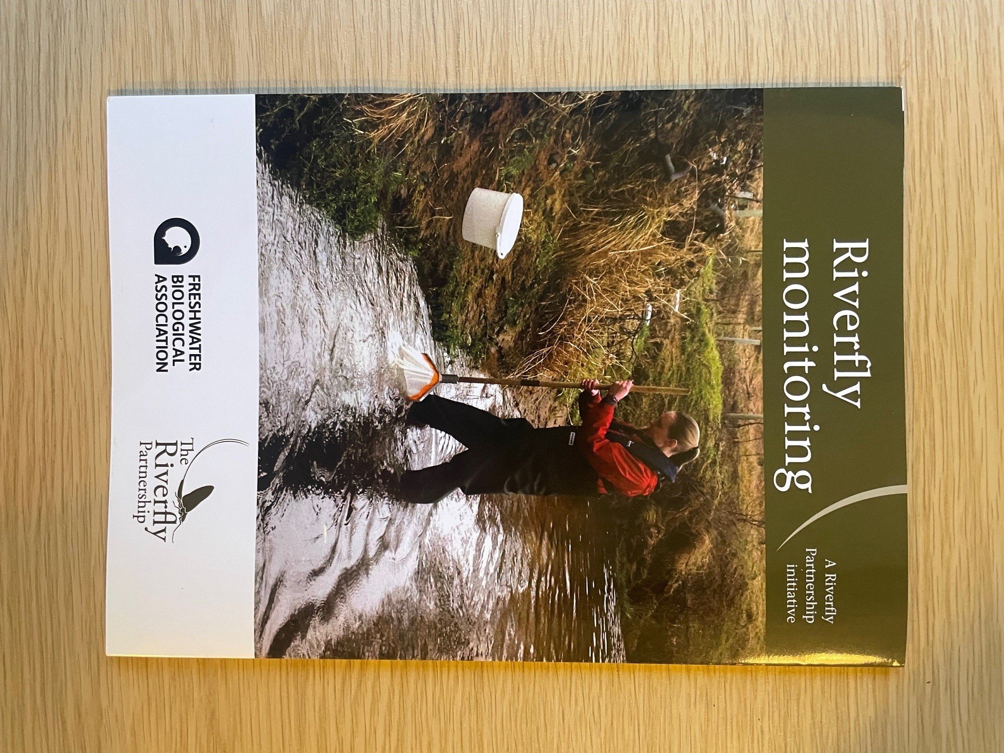
The Riverfly Monitoring Initiative
Riverfly Monitoring Initiative (RMI) sampling involves trained volunteer citizen scientists taking 3-minute kick samples and counting eight macroinvertebrate indicator groups. A score per group between 1 and 4 is derived from counts using a logarithmic abundance scale, these are then summed to produce an overall site score. If this falls below a trigger level set by the Environment Agency, it is assumed to indicate a pollution incident that needs reporting to the Environment Agency for further investigation.
The pros and cons of RMI
RMI has benefits in involving widespread, regular and consistent monitoring that can signal pollution events, helping to compensate for limited Environment Agency surveys and responsiveness due to resource constraints. Monthly sampling also yields information on how different taxa vary between sites and throughout the year, providing an overview of the health of our rivers and helping to detect changes in water and habitat quality and inform river management and restoration. However, coverage of catchments and over time can be patchy and identification and counting errors by volunteers can occur, thus RMI data lack the statistical robustness required in scientific publications.
Problems can also arise if trigger levels are set unrealistically high for a site, leading to ‘breaches’ that are due to natural causes rather than pollution. The scoring system also has disadvantages because although simple, it is based on a logarithmic scale, making it sensitive to occasional sampling of just one or a few individual indicators. Conversely, it is under-sensitive to high abundances because of the cut-off score of 4 for counts >1000/sample. Using actual numerical data can be far more informative.
River Cray: inter-site differences and time trends in abundance
The River Cray provides good examples of RMI’s strengths and limitations. It is a semi-urban chalk stream in SE London/Kent, impacted by over-abstraction and low flows, physical modifications, habitat degradation and connectivity issues, and road runoff pollution. RMI scores illustrate differences between sites (Fig. 1) and seasonal and long-term trends (e.g. at Brook Park; Fig. 2). However, actual abundance for indicator groups reveals more useful information, notably a decline in the common amphipod Gammarus abundance since 2019 but not in the diversity of indicator groups (Fig. 2), trends also found at other Cray sites. Abundances (and RMI scores) were possibly further affected by the drought and heatwave of late summer 2022, but these have recovered since. The long-term declines may reflect the frequency of stormflow events and associated increases in suspended solids and sedimentation.

Figure 1. The main RMI sites on the River Cray, with their average RMI score and [range] in 2018–2023.

Figure 2. RMI scores (top) and abundance (average number [Ave N] per sample, bottom) for five macroinvertebrate indicator groups in monthly samples at Brook Park on the Cray (2018–23). Data gaps reflect COVID19 sampling restrictions. BWO = blue-winged olives. Note that no Heptageniidae or stonefly Riverfly indicators have been found in the Cray.
Abundance data also yield more useful information than RMI scores about inter-site differences. For example, across four Cray sites since 2018, RMI scores are highest at Brook Park, but abundance and hence overall secondary production is higher at Riverside Gardens, principally due to Gammarus (Fig. 3). Conversely, Foots Cray Meadows and Hall Place sites have lower and more variable RMI scores, more frequent trigger breaches and lower abundances. However, according to WaterBlitz surveys by citizen scientists, the Cray’s all-site average RMI score is high compared to other metropolitan London rivers, although lower than those for more rural chalk streams (Loiselle et al. 2020). The proportions of key indicator groups are also similar between London’s rivers. The question is whether inter-site differences and time trends in the Cray are due to pollution or habitat quality.

Figure 3. Abundance (average number [Ave N] per sample) for RMI indicator groups at different Cray sites in 2018–23. BWO = blue-winged olives (Ephemerellidae), RG = Riverside Gardens; BP = Brook Park; FCM = Foots Cray Meadows; HP = Hall Place. Numbers in brackets show average RMI score per site and total number of individual macroinvertebrates per sample.
The only notable signs of pollution are increases in suspended solids, turbidity and sedimentation due to road runoff after storms. However, whilst Brook Park has had zero breaches, 50% of samples (range 32–85%) from three other key sites (Fig. 1) have breached their trigger levels since April 2018. Polluting discharges from surface water outlets due to foul-sewer misconnections are not significant according to ‘Outfall Safaris’ conducted by citizen scientists (ZSL 2023). WaterBlitz surveys of Thames tributaries have shown that RMI macroinvertebrate abundances decline at phosphate concentrations >0.1 mg/l (Loiselle et al. 2020), but Cray concentrations do not exceed this value. Rather than pollution, it appears that trigger breaches are mainly due to overestimation of the habitat quality of these RMI sites.
Habitat quality seems to be a key influence on RMI macroinvertebrates, those sites with higher RMI scores and abundance being characterised by instream vegetation and hard substrata and lack of tree shading (Fig. 1). Comparison of indicator abundances on soft runoff sediments, hard gravel/pebble substrates and instream vegetation such as Ranunculus showed that instream vegetation supported the highest abundances, especially of Gammarus (Fig. 4), as reported in other chalk rivers (e.g. Tod and Schmidt-Araya 2009).

Figure 4. Abundance (average number [Ave N] per sample) of RMI indicator groups in different sub-habitats at Cray sites in 2021–23. Figures in [brackets] show the number of 3-min kick samples.
Differences in habitat quality appear to be linked to RMI breaches because trigger levels have been derived from higher quality sites surveyed by the Environment Agency. For example, the Environment Agency site in Hall Place is vegetated and scores 8.0 whereas the RMI site just upstream is unvegetated, has an average score of 6.9 and 85% of samples have breached the site’s target since 2013. Presence of instream vegetation at Brook Park and Riverside Gardens helps explain their higher average RMI scores (Figs. 1 and 2).
Monitoring of river restorations
Numerical RMI data can also be used to monitor and inform river restorations and aid the planning and assessment of Biodiversity Net Gain (BNG). It is assumed that improving physical habitat results in measurable gains in biodiversity and abundance. BNG assessment metrics rely on the use of Modular River Physical Habitat (MoRPh) surveys and River Type Surveys in River Condition Assessments (Defra 2023). MoRPh surveys were conducted at four Cray sites before and after restorations comprising berm construction, log deflectors or large woody deflectors. RMI data were collected (a) before and after project completion at two locations and (b) at a control site adjacent to a restored one at two other locations.
These restoration actions have not produced clear improvements in MoRPh scores for physical habitat quality or in RMI diversity or abundance after 3–10 years. Possible reasons are that restorations have been too small and localised and have not tackled other overriding water and/or habitat quality issues (e.g. Al-Zankana et al. 2020; Sinclair et al. 2023). In the Cray, such issues include low flows, high suspended solids, turbidity and sedimentation due to road runoff, but also the lack of instream vegetation at some sites, exacerbated by heavy shading (Fig. 1). The example of Brook Park is instructive: it is the best Cray site biologically despite having poor MoRPh scores due to it being an artificial flood-relief channel with sheet-piled vertical banks and a concrete base overlain with imported gravel/pebbles. Key advantages are that it is fed by an on-line gravel pit that acts as a pollutant trap, it is not over-shaded and it supports productive Ranunculus and Fontinalis sub-habitats.
Conclusions
This case study illustrates how Riverfly studies can provide useful information on rivers like the Cray, especially when using abundance data and integrated with other citizen science monitoring. The involvement of more citizen scientists in Riverfly monitoring and associated data analyses could advance local-scale and, collectively, wider understanding of spatial variability and temporal change in river health.
Acknowledgement
Thanks are due to all the many citizen scientists and organisations who have contributed to the studies discussed, particularly the Cray RMI Team and Thames21.
Sources
Further details of Cray RMI studies are available on request from the author.
References
Al-Zankana, A.F.A., Matheson, T. & Harper, D.M. 2020. How strong is the evidence – based on macroinvertebrate community responses – that river restoration works? Ecohydrology & Hydrobiology 20: 196–214. https://doi.org/10.1016/j.ecohyd.2019.11.001
Defra. 2023. The Statutory Biodiversity Metric User Guide (draft): https://assets.publishing.service.gov.uk/media/65673fee750074000d1dee31/The_Statutory_Biodiversity_Metric_-_Draft_User_Guide.pdf
Loiselle, S., Bishop, I. & Scott-Somme, K. 2020 Thames Waterblitz. Earthwatch Waterblitz Report 2020. earthwatch.org.uk/waterblitz-results/
Sinclair, J.S. et al. 2023. Primarily neutral effects of river restoration on macroinvertebrates, macrophytes, and fishes after a decade of monitoring. Restoration Ecology 31: e13840. https://doi.org/10.1111/rec.13840
Tod, S.P. & Schmid-Araya, J.M. 2009. Meiofauna versus macrofauna: Secondary production of invertebrates in a lowland chalk stream. Limnology and Oceanography 54: 450–456. https://doi.org/10.4319/lo.2009.54.2.0450
Zoological Society of London (ZSL). 2023. An audit of the surface water outfalls: Outfall Safari in the rivers Shuttle and Cray. ZSL unpublished report.
Further reading
The Freshwater Biological Association publishes a wide range of books and offers a number of courses throughout the year. Check out our shop here.


Get involved
Our scientific research builds a community of action, bringing people and organisations together to deliver the urgent action needed to protect freshwaters. Join us in protecting freshwater environments now and for the future.